How can I obtain nautical charts?
- Henri
- octobre 17, 2025
Today, marine charting compatible with the app is provided exclusively by the Geogarage platform, where you must create an account and subscribe to one or more chart services depending on your sailing areas.
The charts available come from the official digital data of many international hydrographic offices such as the SHOM, UKHO, NOAA, and others.
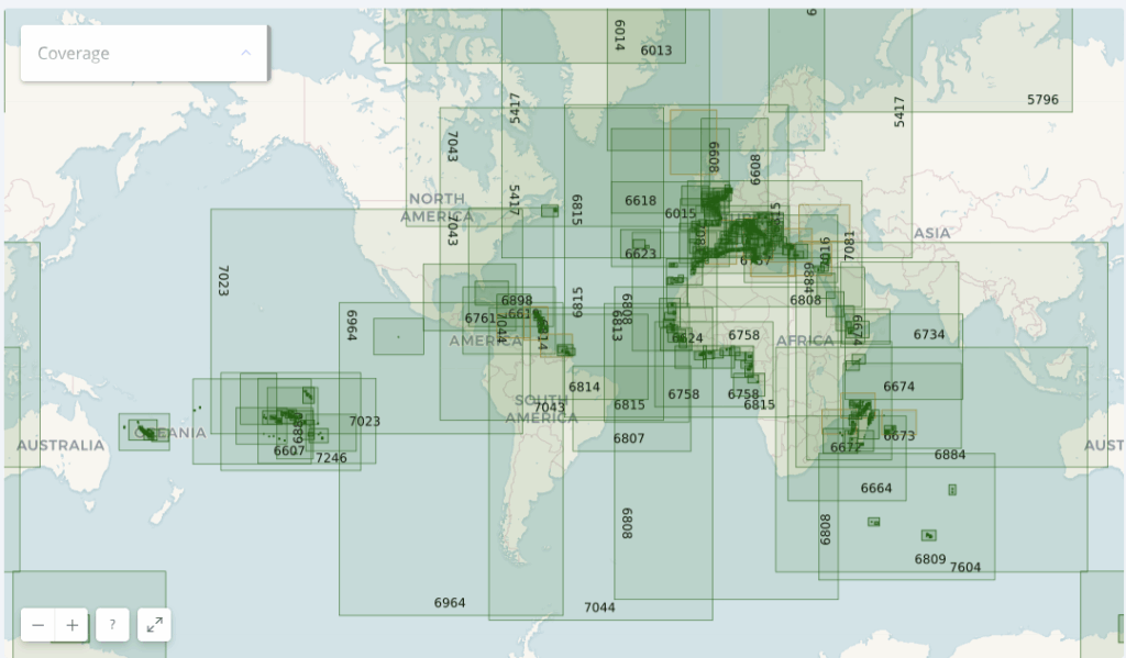
Currently, about thirty publishers are available, offering near-global coverage. These are raster charts divided into tiles, allowing smooth zooming between scales.
When you subscribe to a hydrographic service via Geogarage, you gain access to all the charts published by that hydrographic office.
For example, if you subscribe to the SHOM (Service Hydrographique et Océanographique de la Marine) charts, you will have access to all SHOM charts.
Thus, if you’re sailing from La Rochelle to Fort-de-France across the Atlantic, a single SHOM chart subscription is probably sufficient to cover your entire passage.
As a reference:
- a UKHO chart subscription costs around €70 per year
- a BSH chart subscription costs around €25 per year
- a NOAA chart subscription costs around €4 per year
- a SHOM chart subscription costs around €60 per year.
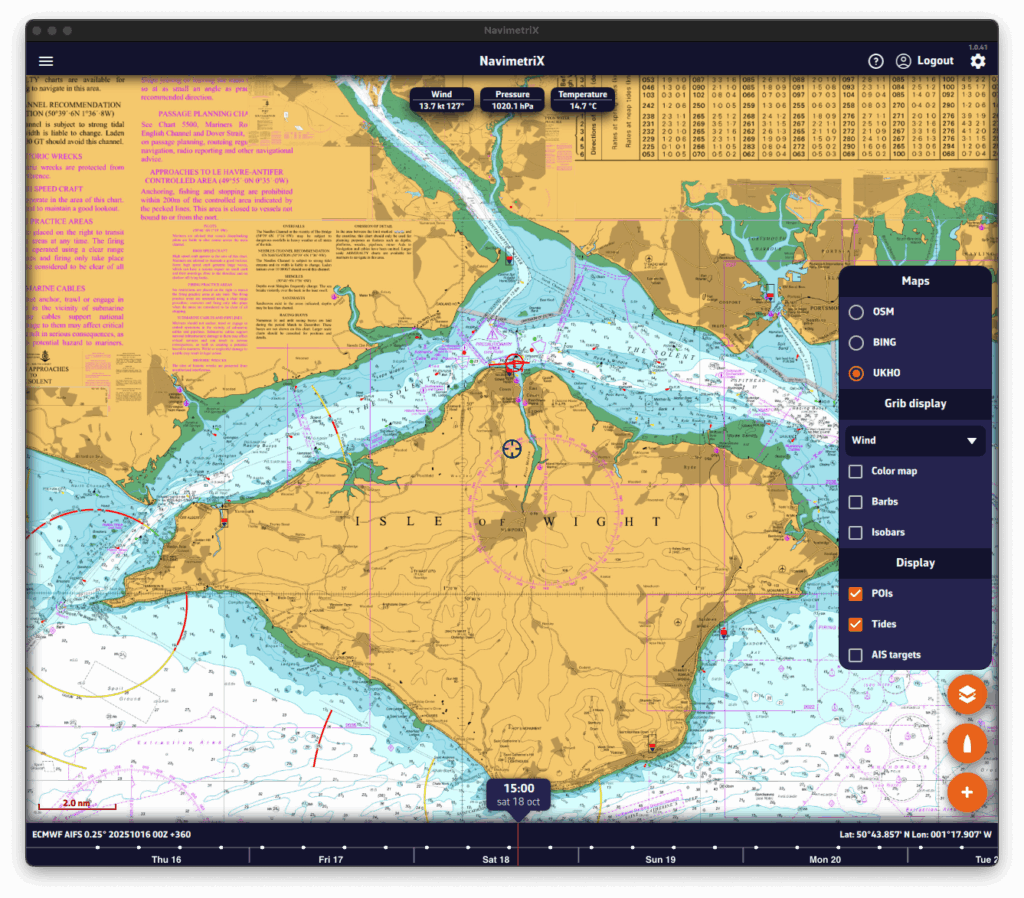
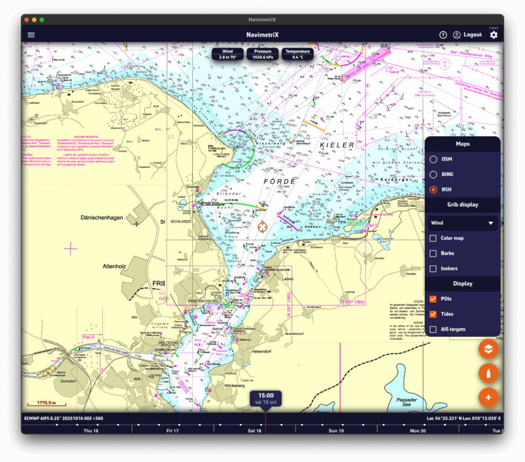
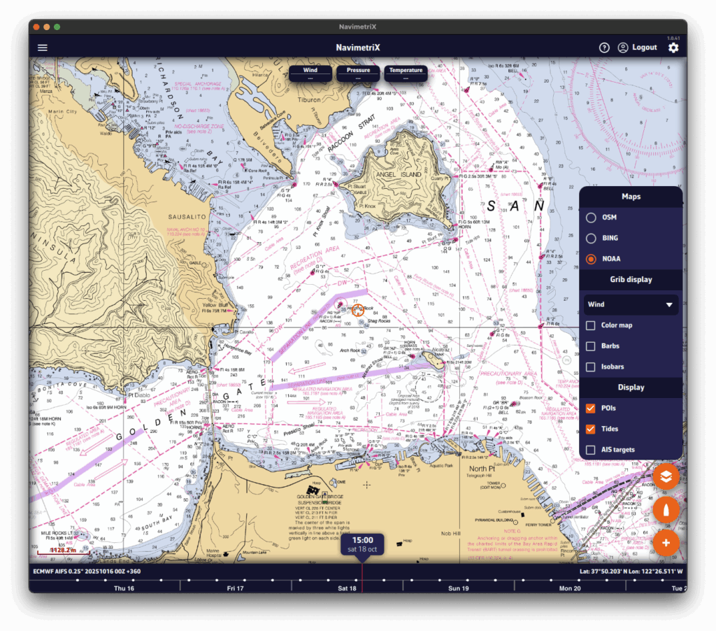
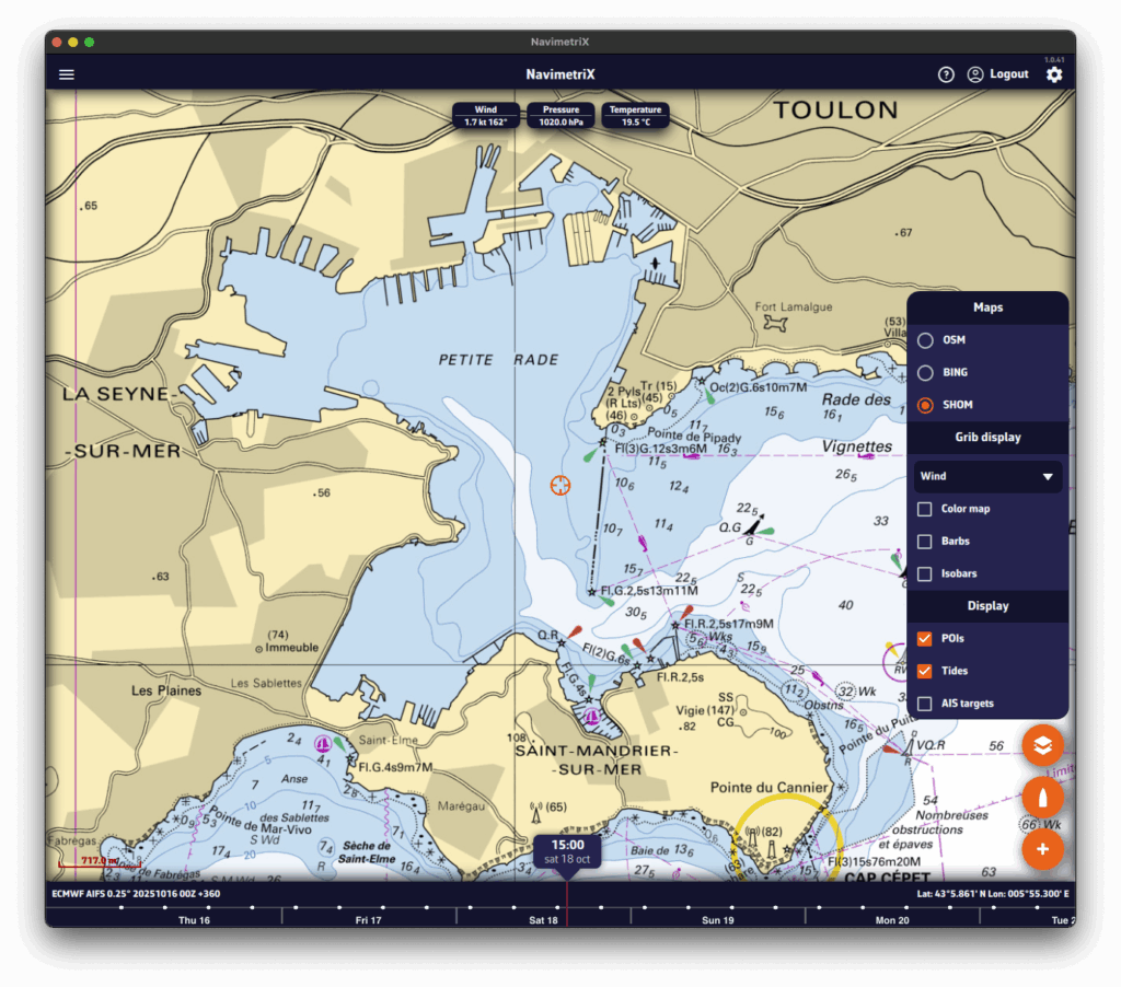
Below is an illustration showing the diversity of hydrographic services available through Geogarage:
- The Solent by the UKHO (United Kingdom);
- The Kiel region by the BSH (Germany);
- And finally, San Francisco Bay by the NOAA (United States).
- The Toulon harbor by the SHOM (France);