Getting started with NavimetriX
Prepare your first navigation in 5 steps.
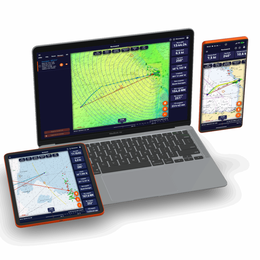
Check the weather
Download a GRIB file to view wind forecasts over your sailing area.
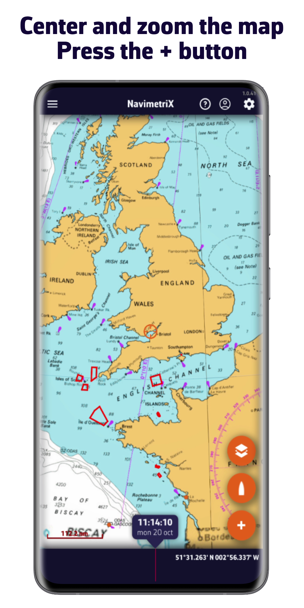
Center and zoom the map on your area, then press the + button
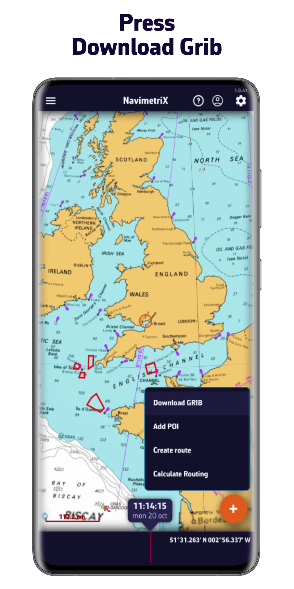
Press Download a GRIB
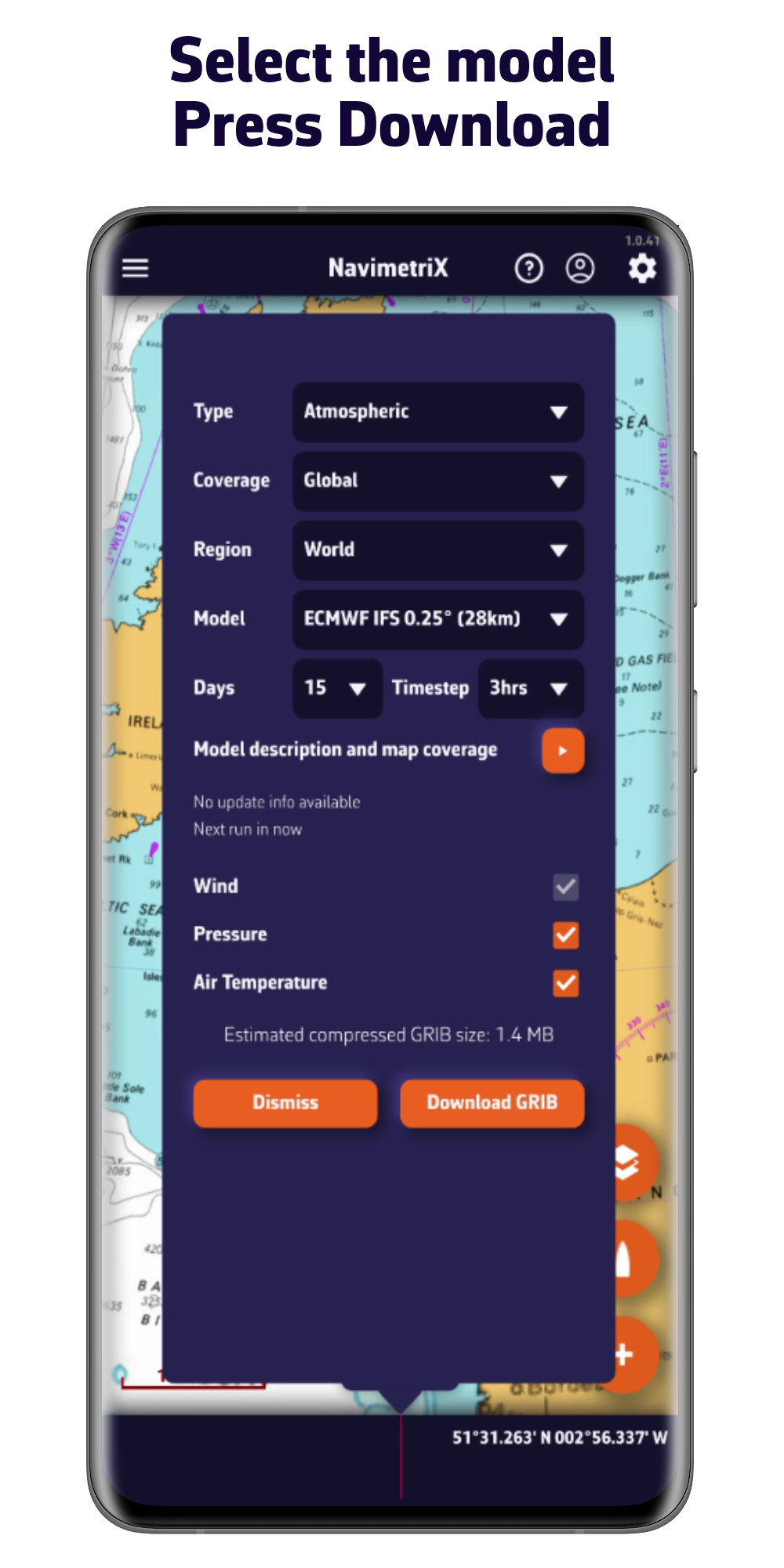
Choose the weather model and press Download
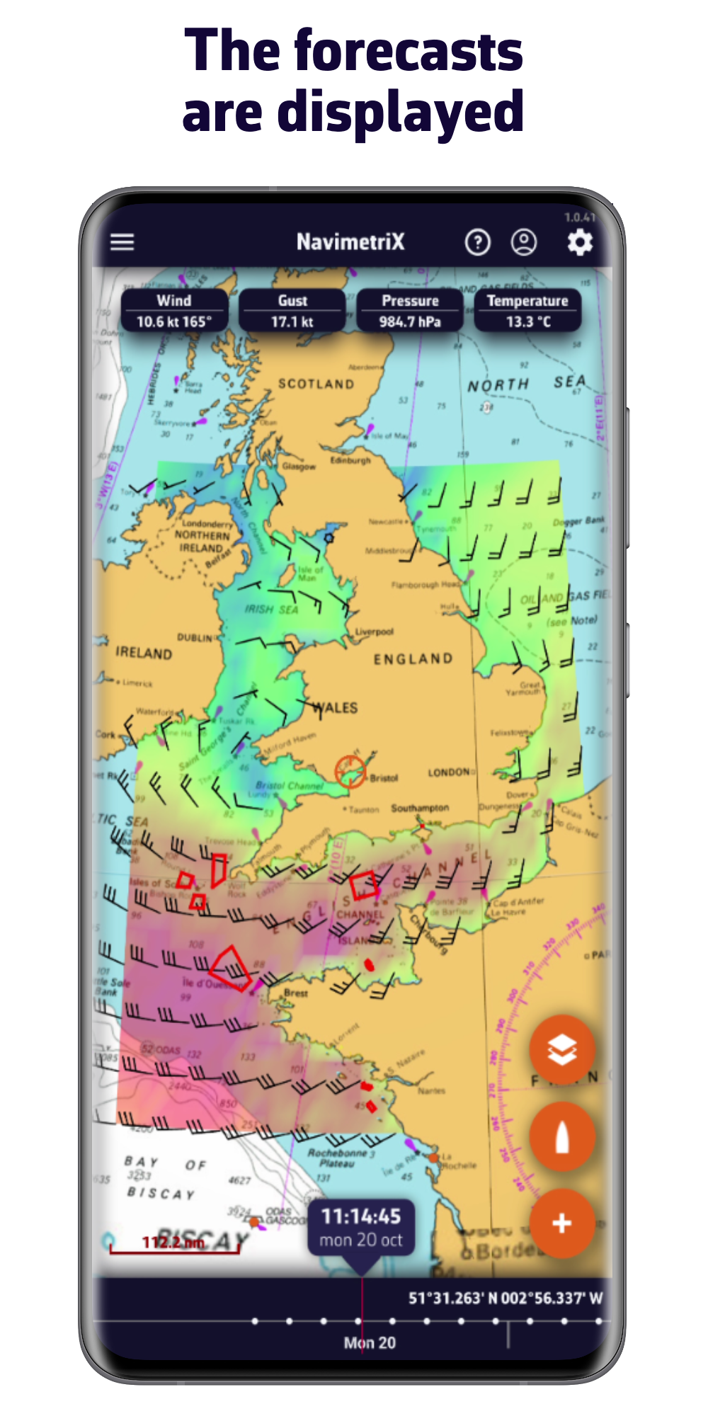
Wind forecasts are displayed on the map
Create a route
Draw your route by placing waypoints on the map.
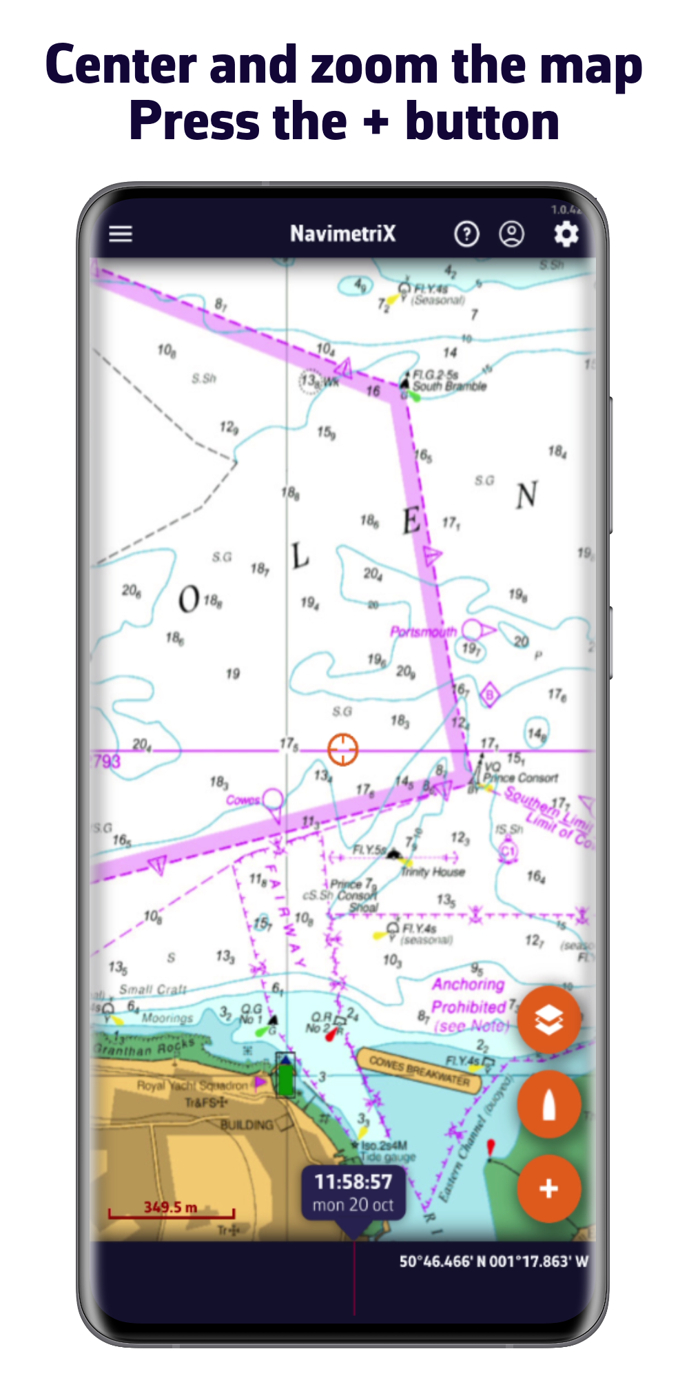
Center the map on your area, press +
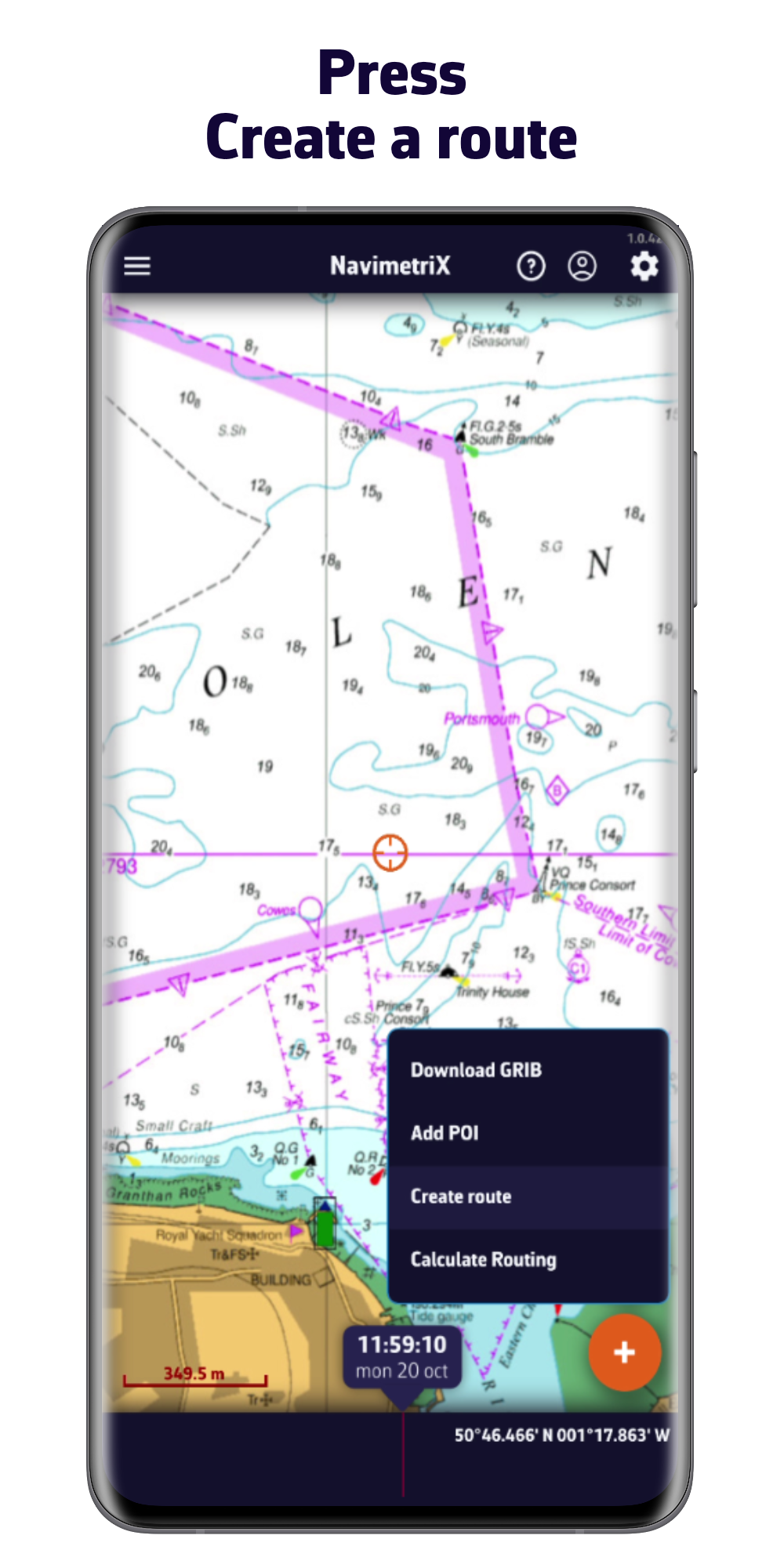
Press Create a Route
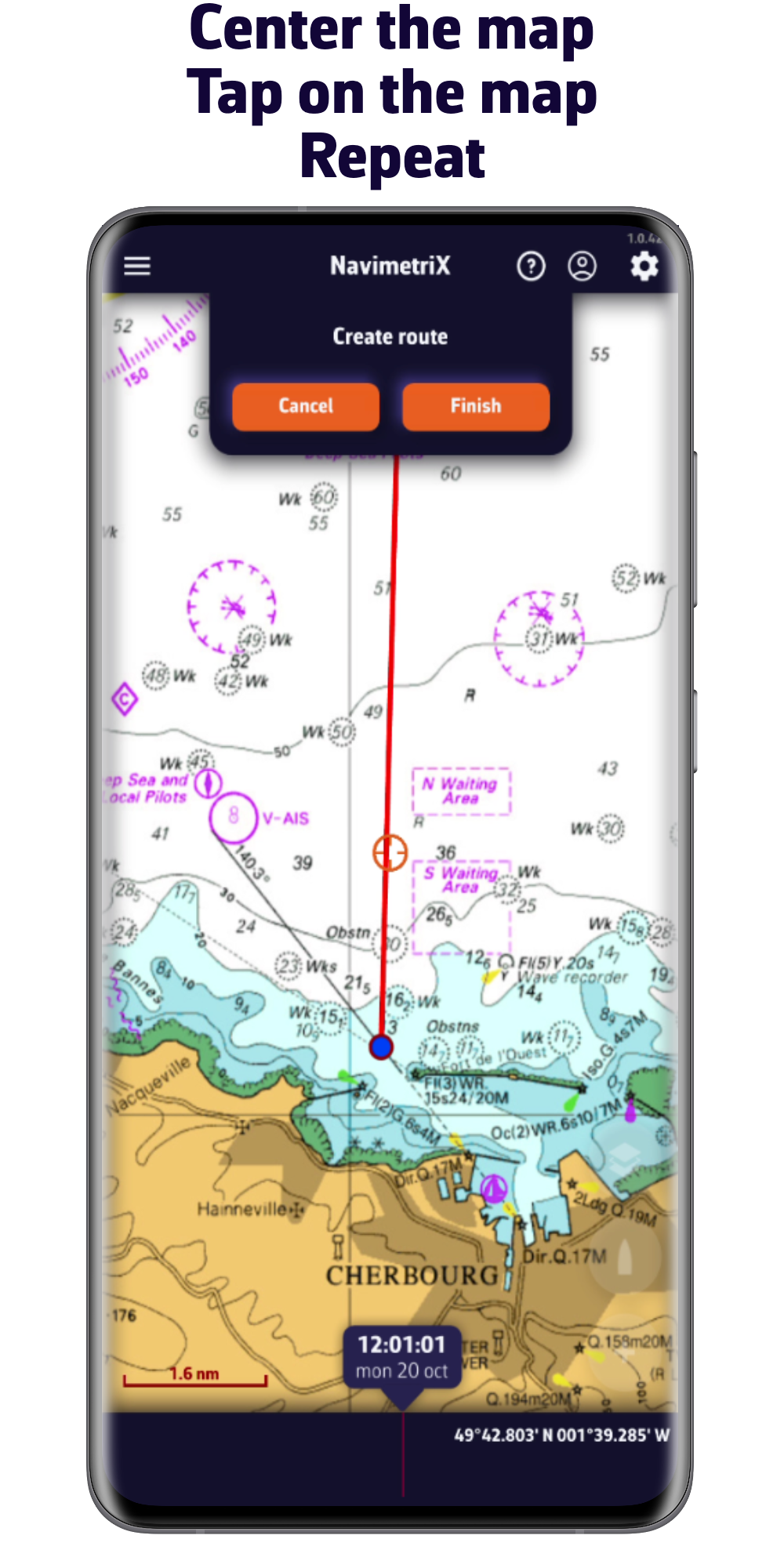
Center the map and tap to add waypoints
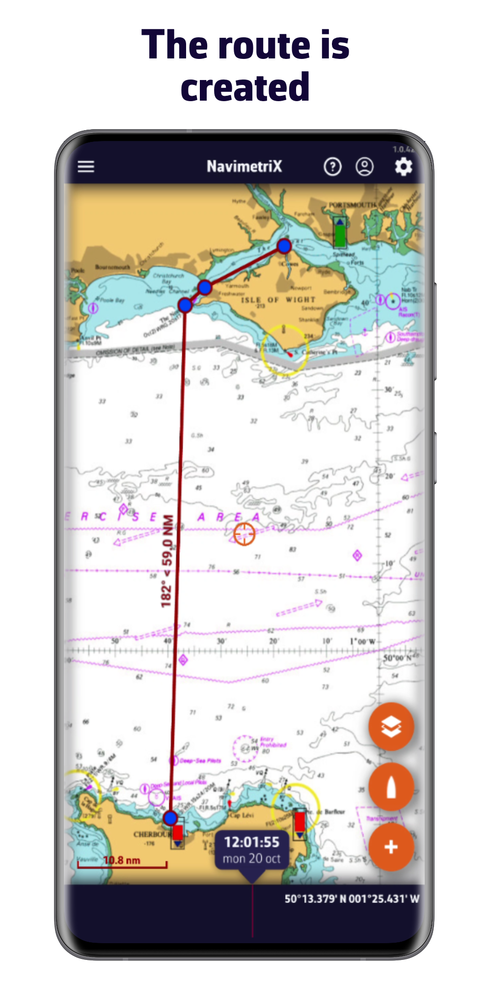
Your route is created
Choose your boat polar
Select the polar matching your boat for the routing calculation.
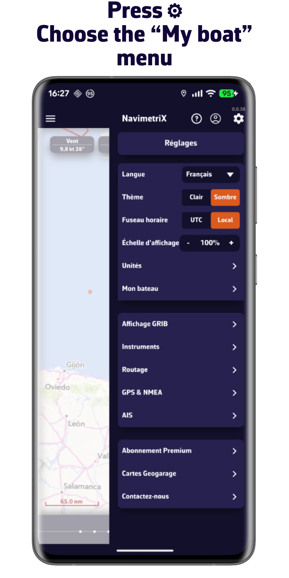
Go to Settings then My Boat
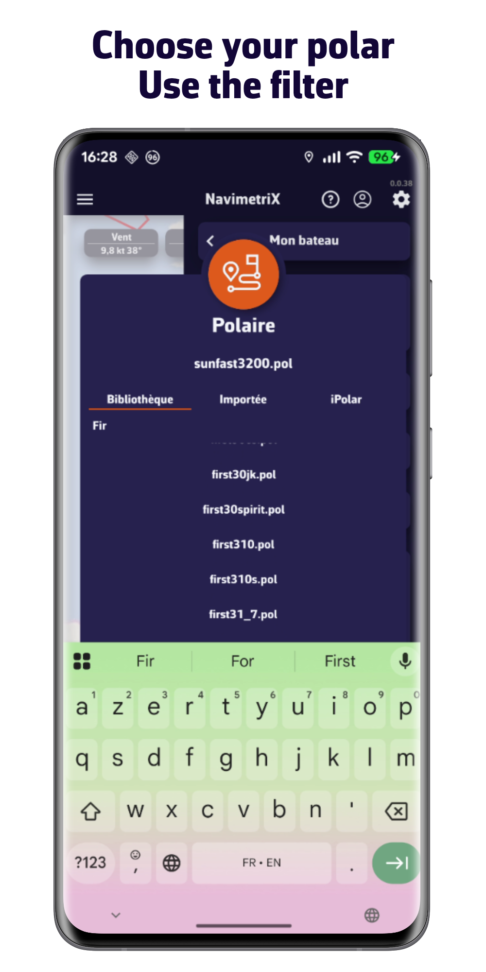
Search and select your polar
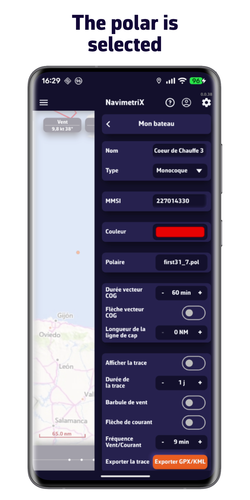
The polar is selected
Compute a routing
NavimetriX computes the optimal route based on the weather and your boat polar.
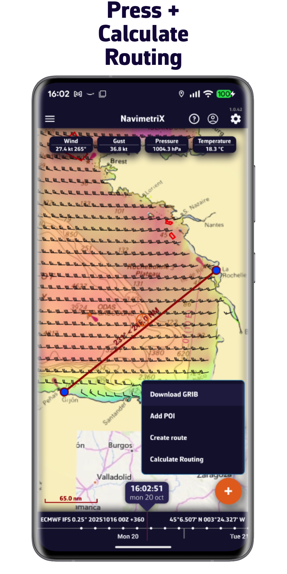
Press + then Calculate a Routing
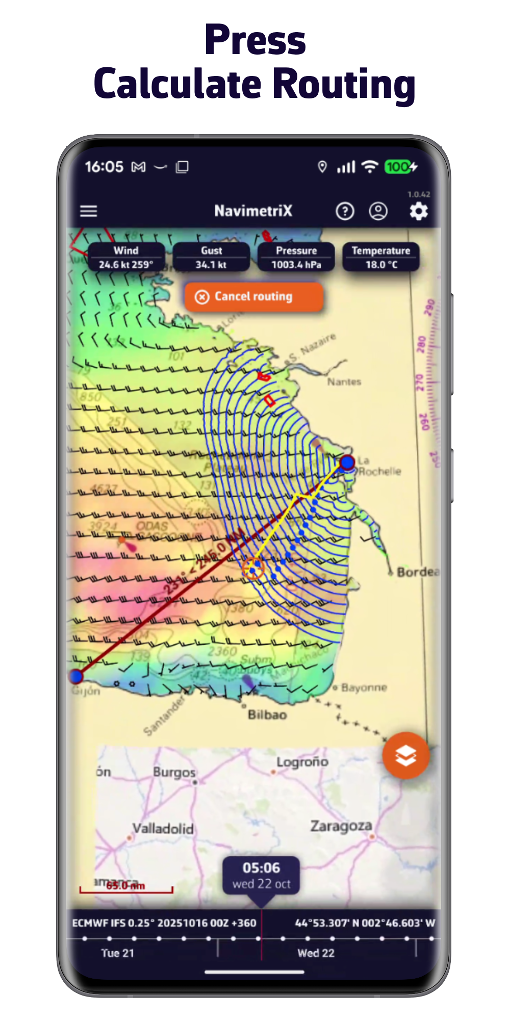
Press Calculate a Routing
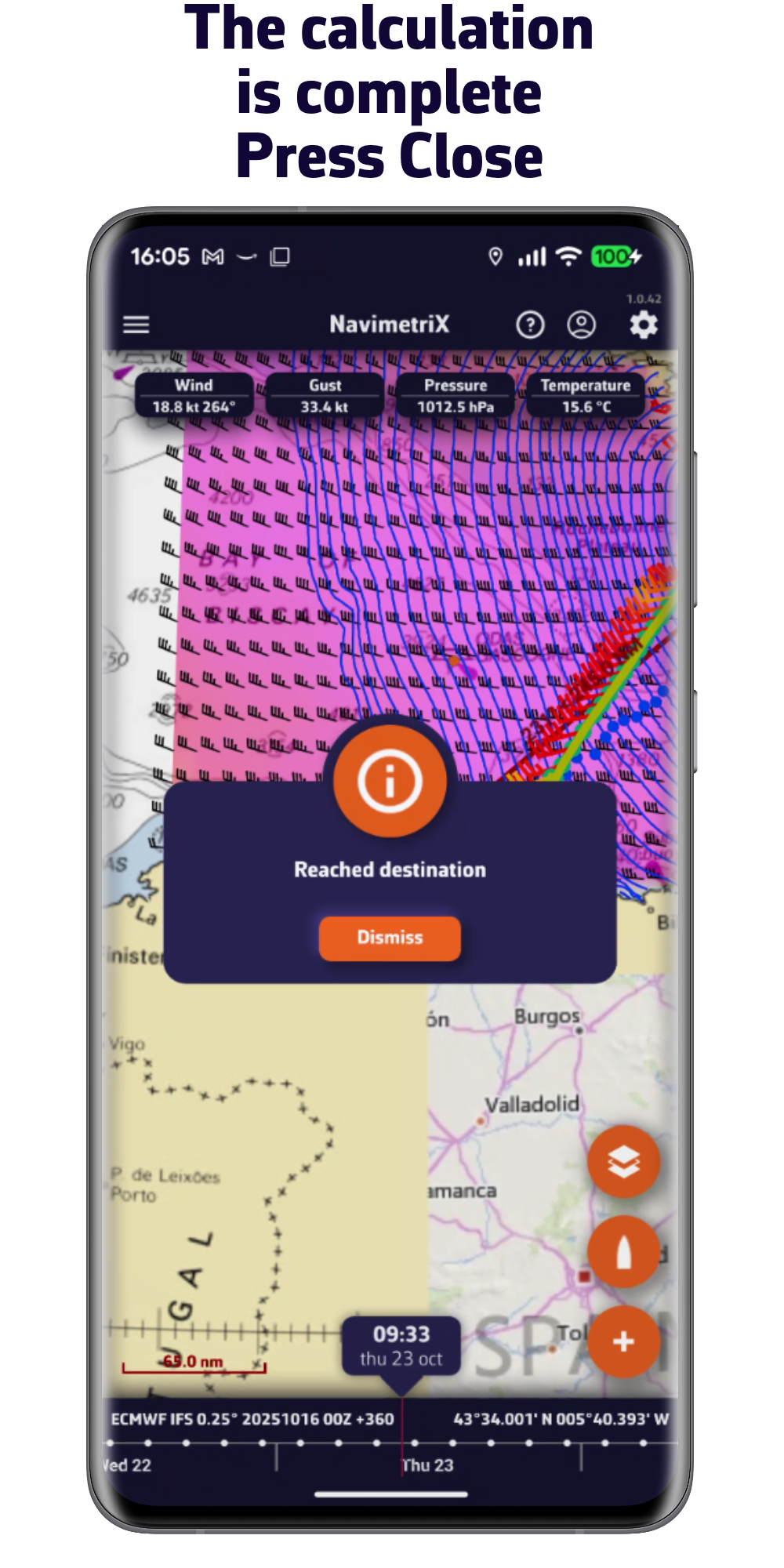
The calculation is complete
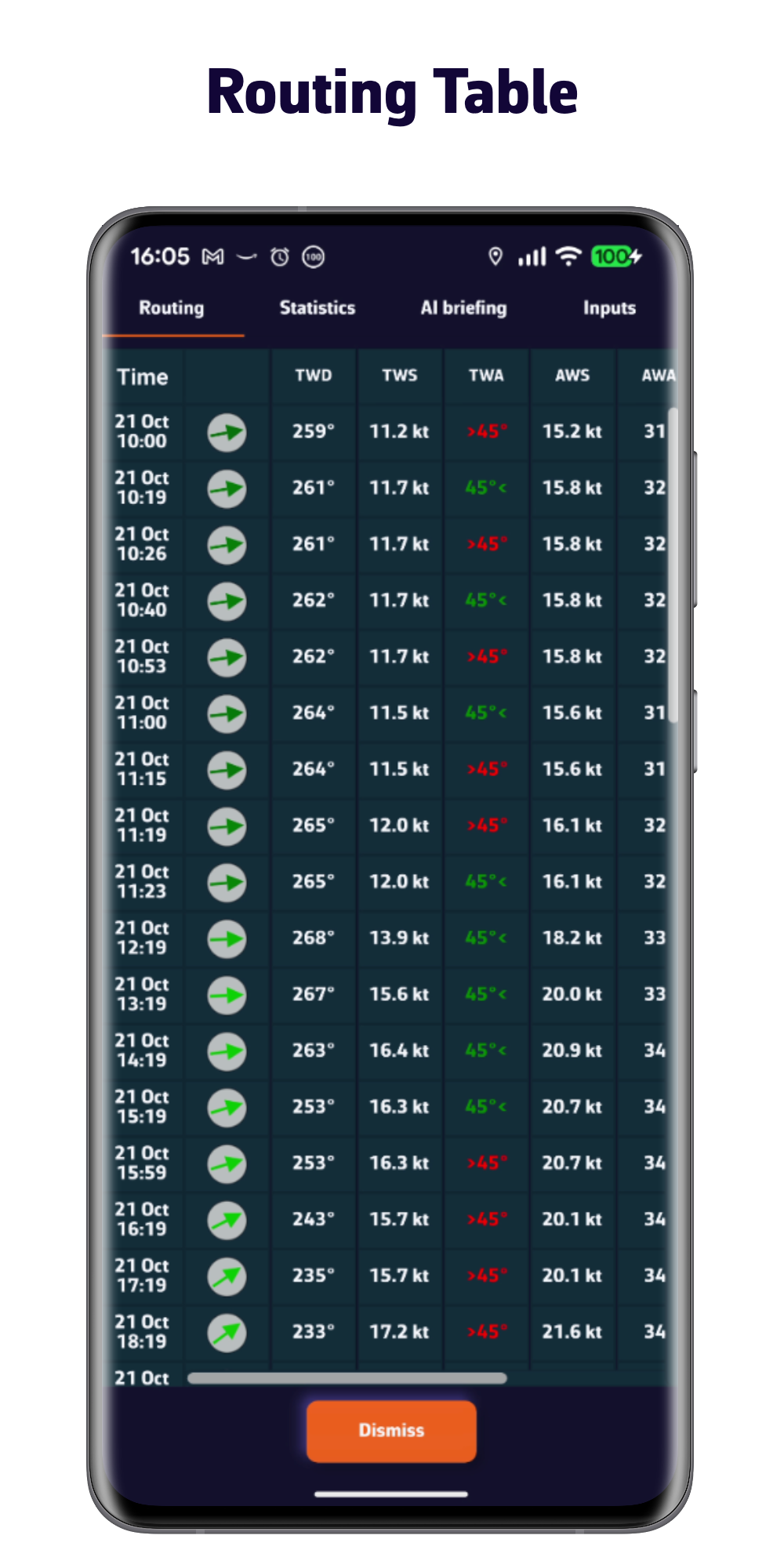
View the routing table
Navigate!
Enable GPS and display your real-time position on the map.
Use the phone's
internal GPS
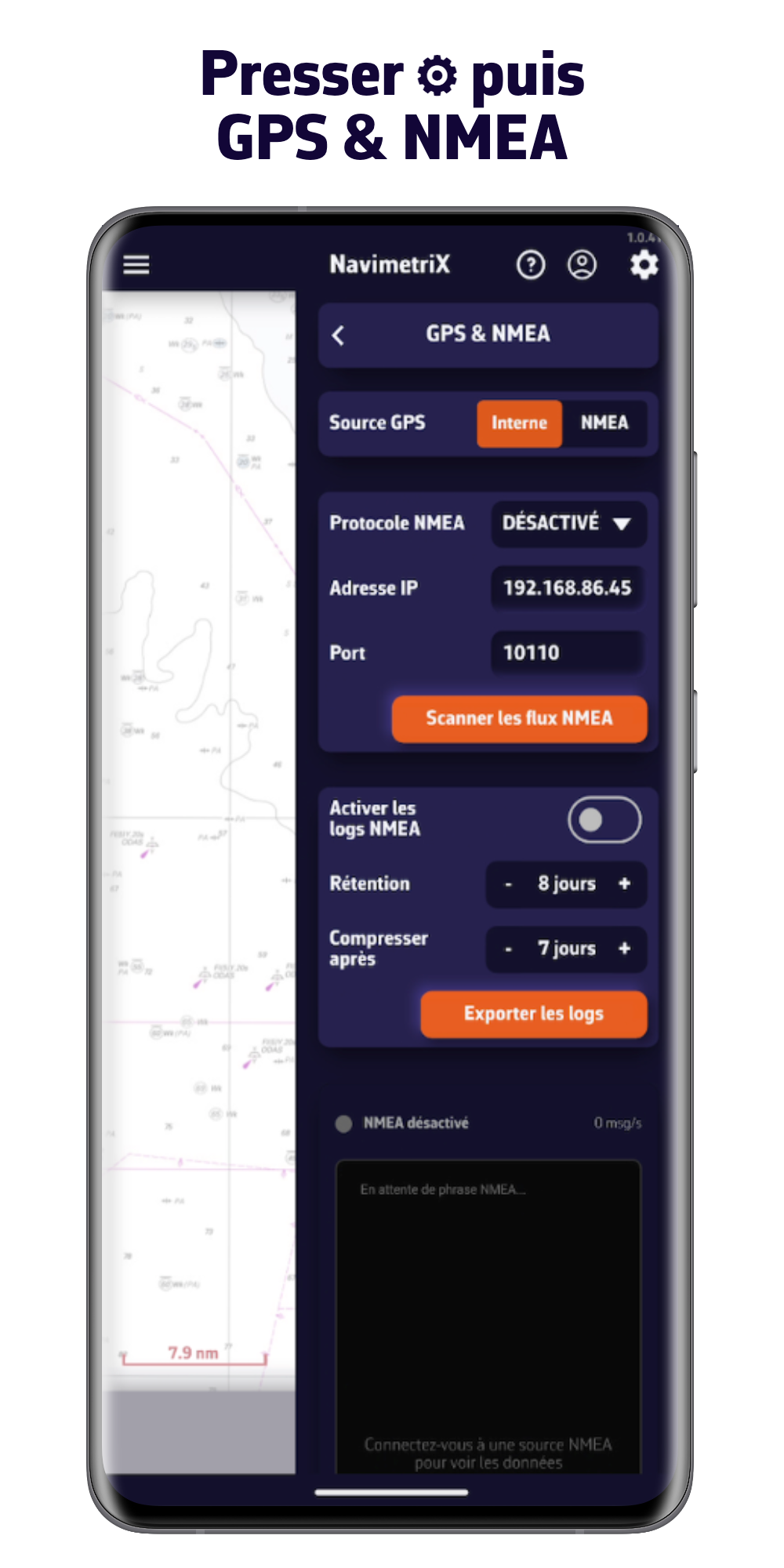
Press ⚙ then GPS & NMEA and select the « Internal » source
Enable
Navigation mode
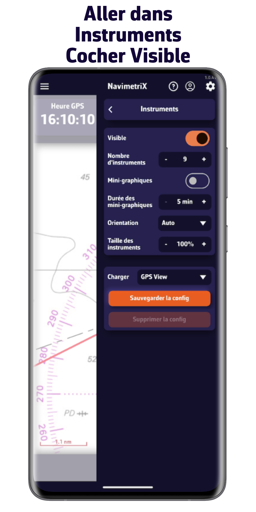
Press the button to the right of the ☰ menu in the top left
Boat on the chart
with GPS data
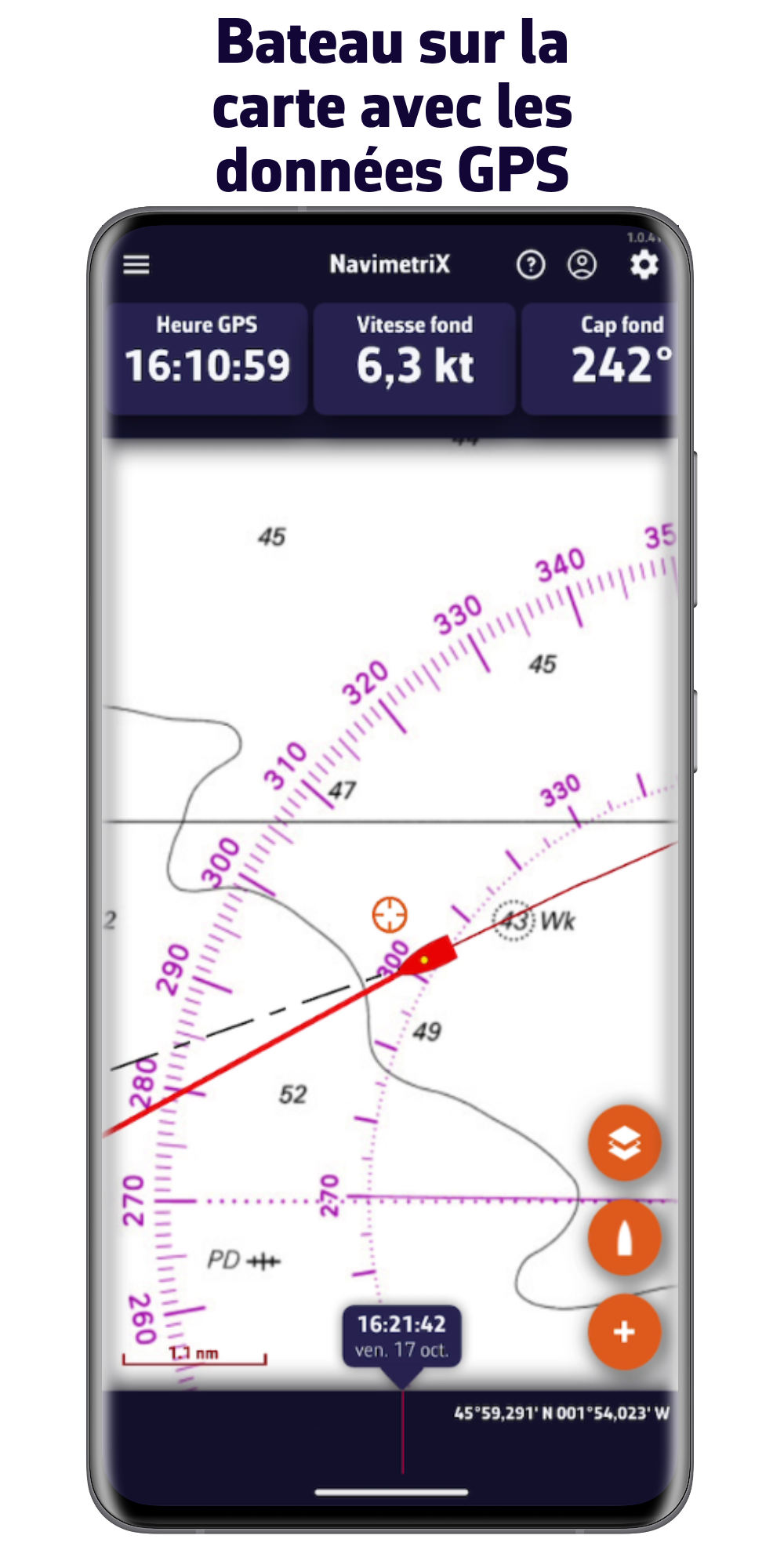
Happy navigation !