By default, a tide gauge is displayed on the cartography for each referenced station.
The gauge display can be disabled by opening the layers menu and unticking the Tides box.
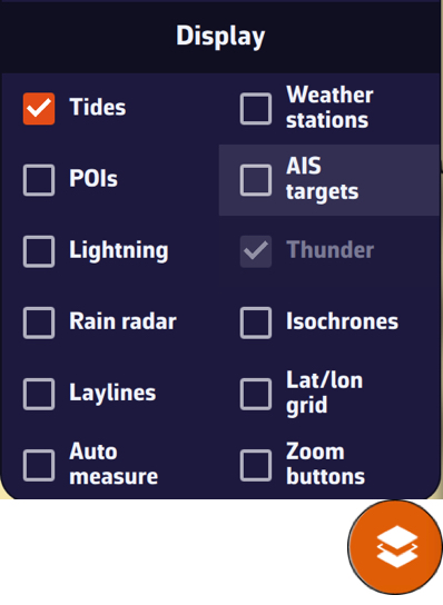
The gauges dynamically show, for the current time:
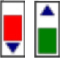
- Rising tide in green
- Falling tide in red
If you have turned on Colorblind-friendly colors (Settings, General, Appearance section), the rising tide turns blue; the falling tide stays red. The arrow on each gauge also shows the direction.
Tapping on each gauge opens a tide graph showing the tide curve and the current water level, represented by the vertical timeline.
The graph is topped by a table showing the times, water heights and tidal coefficients for the day.
Tapping/clicking on the date above the table opens the calendar, allowing you to select another day/month. You can also move from one day to the next by swiping the table or the graph horizontally: to the left for the next day, to the right for the previous day.
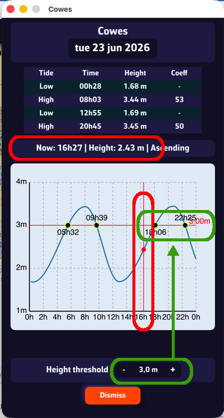
Below the graph, set the Height threshold with the - and + buttons. The threshold line moves on the graph and tells you:
- What the water level will be at a given time.
- What time a given threshold will be reached.