“In-situ” weather stations provide instant weather readings that allow you to compare this data with weather model forecasts. These stations can be semaphores along the coastline, fixed or floating buoys at sea, accredited ships, airports on land, or weather satellites.
How to display them?

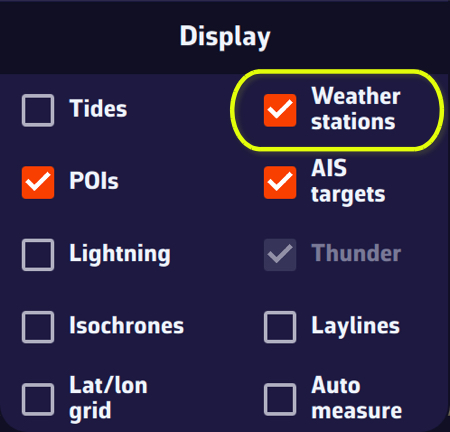
Tap or click the round orange layers button and tick the Weather stations box in the Display section.
The stations are represented by an “arrowhead” symbol that takes the orientation of the “wind direction” data and the colorimetry of the “wind strength.”
Tapping/clicking on a symbol opens a window displaying the characteristics of the station and the most recent data values.
Station types and their info data
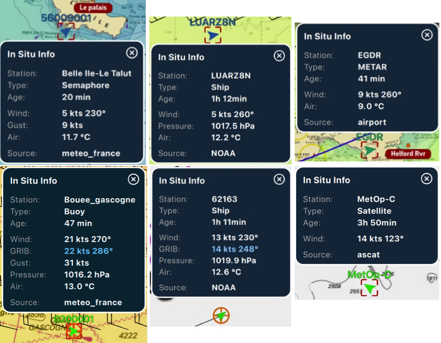
If the time of the information is within the coverage period of the displayed GRIB file, then tapping/clicking in the center of the popup centers the map on the station's coordinates and returns the timeline to the exact time of the station, allowing you to compare the data value and the GRIB file forecast.