AIS targets over Internet come from the global AISHub network, to which NavimetriX is affiliated.
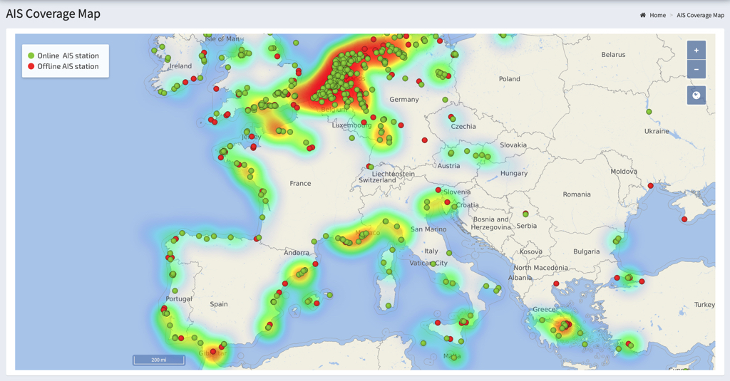
The use and handling of AIS targets over Internet is exactly the same as for AIS targets received on board using an AIS receiver that transmits NMEA data to the application. For more details, see:
How to display AIS targets? in this FAQ.
AIS over Internet is a Premium subscription feature and requires an Internet connection.
Open Settings by tapping the chevron handle (‹) on the right edge of the screen:
- Select the AIS option
- Enable AIS over Internet (on by default)
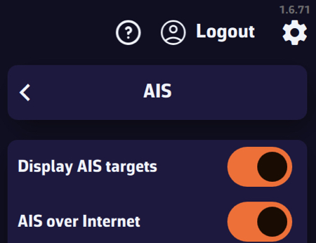
Internet targets are shown even outside Navigation mode. In navigation, they are requested around your boat; otherwise, around the centre of the screen.
The same page offers two sharing switches, on by default (Premium, and only when Internet is available):
- Share AIS data: forwards the targets received by your onboard AIS receiver to the AISHub network.
- Share weather data: sends the weather measured on board (wind, pressure, temperature) over the Internet as an AIS message, when true wind is available.
Cautions:
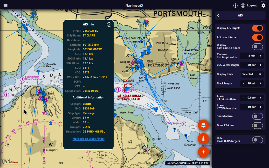
AIS targets over Internet should be considered for informational purposes only. Time delays due to Internet transfer speeds make them unsuitable for navigational safety, whereas reception on board by a dedicated receiver is at VHF frequency in real time.
They are therefore represented by blue icons to differentiate them from green AIS targets icons received directly.
For more details, see: What do the icons displayed on the chart mean in this FAQ?